Following a magnitude 6.8 earthquake in Luding County, China, researchers from the Southern University of Science and Technology conducted a study to determine whether Global Navigation Satellite System (GNSS) observations could assist in rapid landslide prediction post-earthquake. The results of their study, published in Seismological Research Letters, provided valuable insights into the potential of GNSS data in predicting landslides with high accuracy.
The researchers found that their models accurately identified approximately 80% of the landslide locations triggered by the Luding earthquake. This level of accuracy is significant in the field of landslide prediction, as it can help authorities and emergency responders mitigate the impact of such natural disasters. The study also revealed that near real-time landslide prediction for events like the Luding earthquake could be achieved in about 40 minutes, a timeframe that may improve with further model development and faster computing technology.
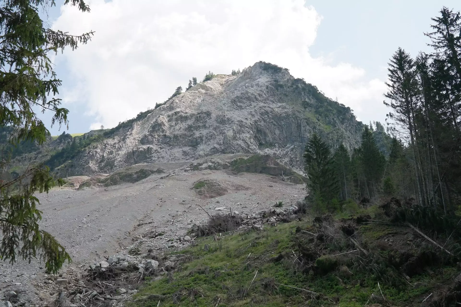
The Luding earthquake, which led to over 6,000 landslides in China’s Sichuan Province, highlighted the vulnerability of mountainous regions to seismic events. The scale of destruction caused by the landslides underscored the importance of continuous monitoring and improved prediction models in such areas. The researchers emphasized the need for better understanding of the risk profiles of regions prone to landslides, especially after significant earthquakes.
GNSS data plays a crucial role in measuring ground movement during earthquakes. The researchers had been investigating the use of GNSS data for earthquake source location and tsunami early warning prior to the Luding earthquake. Following the event, they focused on developing methods for landslide prediction using GNSS data. The study served as a critical case study for evaluating and adapting their prediction methods in the context of co-seismic landslides.
The researchers developed an end-to-end GNSS prediction method that involved constructing slip models based on GNSS offset and displacement data, conducting physics-based simulations of the earthquake, and using machine learning algorithms to predict the spatial distribution of landslides. By training their prediction algorithm on six earthquakes similar to the Luding event, the researchers were able to enhance the accuracy of their predictions.
To further improve earthquake warning and response, the researchers suggested combining GNSS observations with data from low-cost accelerometers known as MEMS. China has integrated over 10,000 MEMS-based stations into its earthquake warning system to enhance the robustness and accuracy of landslide prediction. By leveraging both types of data in a complementary manner, researchers hope to make significant strides in improving landslide prediction and response efforts.
The study conducted by Chen and colleagues sheds light on the critical role of GNSS data in rapid landslide prediction after earthquakes. The findings provide valuable insights into the potential of GNSS observations to accurately predict landslides in near real-time, offering crucial support for disaster preparedness and response efforts in seismic-prone regions.
Leave a Reply