Researchers at the University of Minnesota have developed a groundbreaking tool that utilizes satellite measurements to track ethane emissions globally. Ethane, commonly found in natural gas, is a key component in plastics manufacturing and is closely linked to fossil fuel extraction and processing.
Ethane emissions have long been a concern due to their impact on air quality and contribution to climate change. The lack of accurate measurements and the difficulty in distinguishing between various sources of pollutants have made it challenging to pinpoint the exact emissions from oil and gas extraction activities.
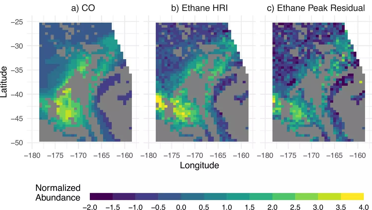
The research team employed a sophisticated machine learning algorithm to analyze the satellite data and determine atmospheric ethane concentrations. This innovative approach allowed them to map ethane emissions over major oil and gas basins worldwide.
The study revealed that the Permian Basin in western Texas and southeastern New Mexico stands out as the highest contributor of ethane emissions on the planet. This single basin alone is responsible for a significant portion of global fossil fuel ethane emissions, which were previously underestimated by a significant margin.
By harnessing the power of satellite measurements, researchers aim to track ethane emissions more accurately and monitor changes in fossil fuel emissions over time. Plans are underway to launch additional instruments into geostationary orbits to provide real-time observations and more detailed information on air pollutant emissions globally.
The development of this new tool marks a significant step forward in understanding and addressing ethane emissions from fossil fuel activities. By accurately tracking ethane concentrations and sources, researchers hope to contribute to efforts aimed at reducing air pollution and mitigating the impacts of climate change. The innovative use of satellite measurements opens up new possibilities for monitoring and addressing environmental challenges on a global scale.


Leave a Reply