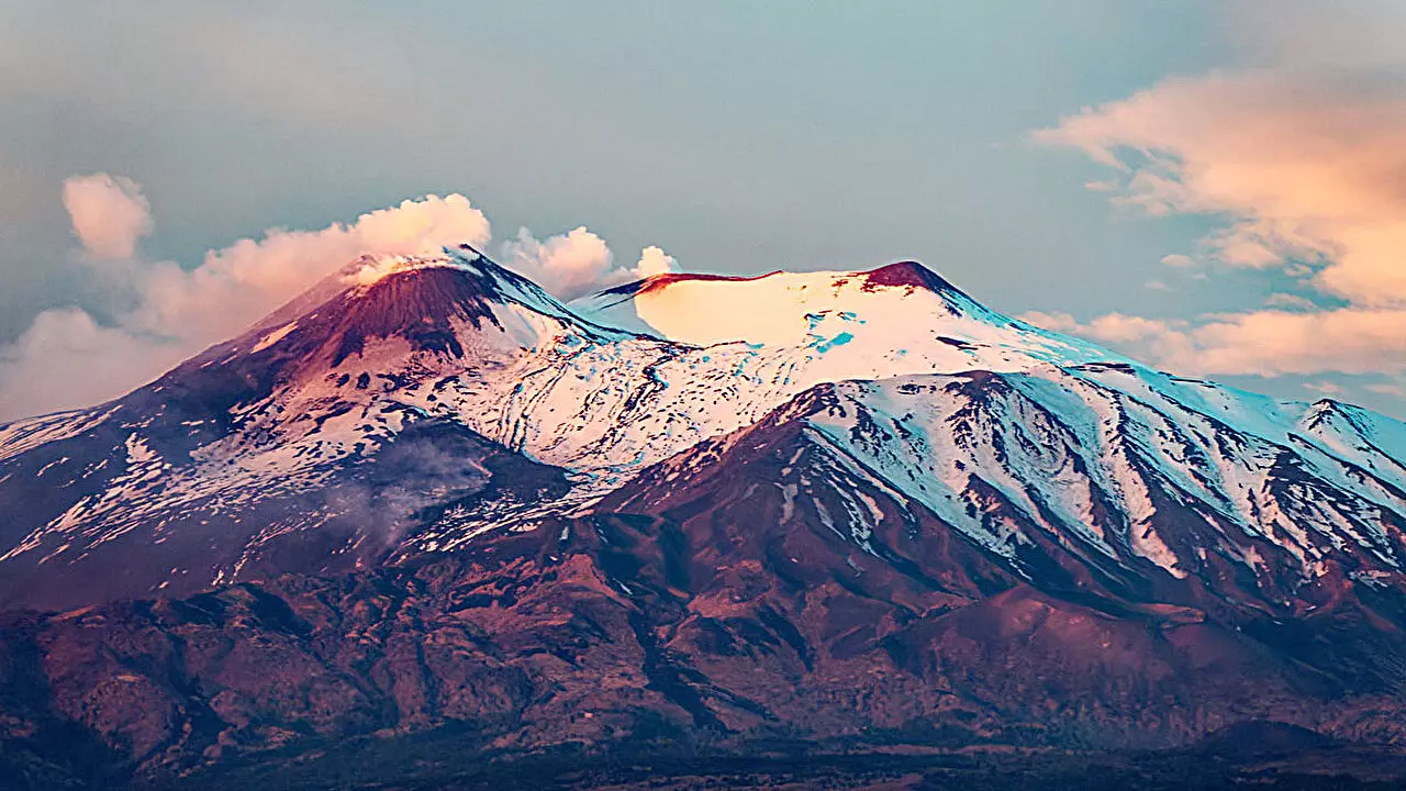
Mount Etna, Europe’s tallest and most active volcano, presents a unique geological environment due to its location at the collisional zone of the African and European tectonic plates. Unlike most subduction zone volcanoes, which sit above sinking tectonic plates, Etna’s magma sources are surrounded by mountain chains, fault systems, and active tectonics, making it challenging for scientists to pinpoint the exact origin of the volcano’s magma.
Traditionally, seismic tomography studies have relied on isotropic models to create 3D images of Earth’s interior. These models assume that seismic waves travel through the crust and mantle at a constant speed, regardless of their direction. However, this oversimplified approach can lead to inaccuracies and misinterpretations in the resulting images, as variations in wave speed can be mistaken for differences in Earth’s composition or thermal properties.
Researchers led by R. Lo Bue have adopted a more advanced approach known as anisotropic tomography to investigate the depths beneath Mount Etna. By considering the directional dependence of seismic wave speeds, this technique offers a more detailed and accurate representation of the volcano’s subsurface structures. Specifically, the team utilized P wave anisotropic tomography, focusing on the fastest-moving seismic waves during earthquakes to uncover new insights into fault segments and magma pathways below the surface.
Examining a decade-long record of earthquakes near Mount Etna, the researchers analyzed data collected from a network of 30 seismometers. By incorporating anisotropic elements into their tomographic models, they were able to identify fluid magma within the crust and map out potential routes that the magma could follow to reach the volcano’s surface. This detailed imaging not only enhances our understanding of Etna’s geological features but also provides valuable information for monitoring volcanic activity in the future.
The utilization of anisotropic tomography in studying Mount Etna represents a significant advancement in volcano research. By accurately capturing the complexities of magma movement within the crust and considering the influence of geological structures like faults and fractures, this technique has the potential to revolutionize how we monitor and predict volcanic eruptions. As we continue to unravel the mysteries hidden beneath Earth’s surface, seismic tomography emerges as a powerful tool for exploring the dynamic processes shaping our planet’s geology.
Leave a Reply